
Lewisville ZIP Code Coverage
The Lewisville ZIP code directory is a verification list, not a boundary map. Official sources repeatedly place 75057, 75067, 75077, 75029, and 75056 in Lewisville-area address contexts. Only 75057 and 75067 are strongly anchored by official Lewisville addresses. The research did not locate an authoritative citywide ZIP boundary layer or a complete official municipal inventory, so every address needs its own postal and parcel check.
| ZIP lead | Lewisville use | Postal check | Parcel caution |
|---|---|---|---|
| 75057 | Central or older Lewisville address lead | Test the full Lewisville address and postal city with USPS | Confirm Lewisville situs city and municipal context |
| 75067 | Common Lewisville mailing lead, including city addresses | Test the current Lewisville address with USPS | Confirm the Lewisville situs record |
| 75077 | Northern regional Lewisville-area lead | Use USPS for the exact Lewisville-area address | May overlap Lewisville postal or neighboring municipal context |
| 75029 | Lewisville postal and P.O.-box or area lead | Check a Lewisville street address separately | Do not equate Lewisville postal city with city limits |
| 75056 | Denton County and Lewisville-area association lead | Verify Lewisville-area delivery for the exact address | Check Lewisville parcel city and municipality |
These Lewisville labels guide a search toward the right address record. They do not show where a ZIP begins or ends, prove a person or business is at an address, or settle whether an address is inside Lewisville city limits.
Lewisville ZIP Code Delivery Labels
Start with the USPS ZIP Lookup Tool. Its documented modes are By Address, By City and State, and Cities by ZIP. For an address, enter the complete Lewisville street address with Lewisville and Texas. For a bare ZIP, use Cities by ZIP to test the postal-city labels returned by the service. Preserve the result date because delivery routes and labels can change.
USPS can standardize a Lewisville address and return a delivery ZIP. It does not confirm that a named person or business is at that address, and it does not establish Lewisville municipal jurisdiction. Retain the typed Lewisville address and the standardized address as separate values when their spelling, directional word, or suffix differs.
Lewisville ZIP Code Parcel Fields
After USPS, use the Denton CAD GIS or its ArcGIS parcel layer to compare the Lewisville delivery answer with appraisal geography. DCAD separates the property situs from owner and mailing fields. Its documented parcel fields include situs number, street parts, city, state, ZIP, a concatenated situs, name fields, mailing fields, legal description, subdivision, lot, deed metadata, values, and district fields.
The distinction matters. A mailing ZIP belongs to the owner-contact record, while a situs ZIP identifies the property location recorded by DCAD. Neither field is a legal survey. The ArcGIS layer is updated or exported weekly, and owner data can lag during annual appraisal processes. A current field is a research lead with a retrieval date, not a permanent historical fact.
Finding Residents by Lewisville ZIP Code
A ZIP narrows a Lewisville address question, but the documented Denton systems do not offer one universal person search. This Lewisville ZIP code directory process works from the exact address toward the record that matches the question. DCAD supplies the current parcel and situs lead. The county tax search separates Owner Address from Property Location, and the Clerk index answers a recorded-instrument question. The tax portal’s visible help did not show a ZIP filter, so do not claim it has one.
- Run the complete Lewisville address through USPS By Address and save the standardized address, ZIP, postal-city label, and result date.
- Open DCAD GIS, identify the Lewisville parcel, and record the situs city and ZIP separately from mailing fields.
- Compare the DCAD parcel with the county tax portal’s Property Location search if a tax-account cross-check is useful.
- Check Lewisville council-district or boundary geography when the postal label and parcel city do not agree.
- Use the county Clerk index only for a defined Lewisville deed or recorded-instrument question, keeping legal description and date with the result.
Once the postal and parcel facts are stable, the Lewisville by-street directory is the appropriate route for a full address-by-address record chain. A ZIP alone is too broad for that task.
Lewisville ZIP Code Search Fields
Use only documented Lewisville controls and fields. USPS supplies the delivery-normalization step. DCAD provides queryable parcel geography, while the county tax portal offers separate text paths for a property or owner address. The Denton voter-lookup page returned a 403 during inspection, so its exact fields and ZIP behavior are not known and should not be inferred.
| System | Documented field or mode | ZIP use |
|---|---|---|
| USPS ZIP Lookup | By Address: street address, city, state, optional company | Normalizes an exact delivery address |
| USPS ZIP Lookup | By City and State; Cities by ZIP | Tests postal-city labels, not city limits |
| DCAD ArcGIS parcel layer | Situs city and ZIP; mailing fields; concatenated situs | Compares property location with owner mailing data |
| Denton tax search | Account Number, Owner Name, Owner Address, Property Location | No visible ZIP filter was documented |
A person’s name should not be treated as a Lewisville ZIP-wide roster result. Use the source’s actual field, label the source type, and retain the query date. Note: A missing result can reflect an address variation, timing, confidentiality rule, or the limits of that particular system.
Lewisville ZIP Code Boundaries
ZIP code boundaries and Lewisville municipal limits serve different purposes. A Lewisville postal city is assigned for delivery, a municipality is an incorporated boundary, and a DCAD parcel is a county appraisal and tax unit. Keep them in separate columns. For a current Lewisville address, compare USPS By Address with the DCAD situs. For a ZIP without a street number, compare USPS Cities by ZIP with DCAD GIS or a Lewisville city/county map. For a historic Lewisville address, add the directory, map, or deed spelling before attempting a modern match.
- ZIP
- A delivery-routing label used by USPS. It is not a municipal-boundary file.
- ZIP+4
- An added four-digit delivery segment that refines a ZIP for a smaller mail-delivery area.
- P.O.-box ZIP
- A postal designation associated with post-office box service; it should not be assumed to describe a street location.
- Unique ZIP
- A ZIP assigned to a single organization or large recipient. The research did not identify one as a Lewisville boundary rule.
- Carrier route
- A mail-delivery route grouping. It can help delivery operations but does not prove a person’s location or a city limit.
When Lewisville values conflict, preserve the USPS postal city, DCAD situs city and ZIP, council-district result, and source date. Ask for a Lewisville boundary, plat, road, or custodian record if a formal answer depends on the difference.
Lewisville ZIP Code Annexation
Postal research needs a date as well as an address. Lewisville’s city timeline reports the 2021 Castle Hills annexation, which added about 20,000 residents. That change means a current municipal answer may not match an older map, postal label, or record description. The city’s current district geography and a historic map answer separate questions and should not be combined into a single boundary claim.
The TSLAC 1961 Lewisville map record shows roads, railroads, schools, churches, post offices, cemeteries, subdivision areas, and utilities. It helps orient an older address or place name before a parcel comparison.
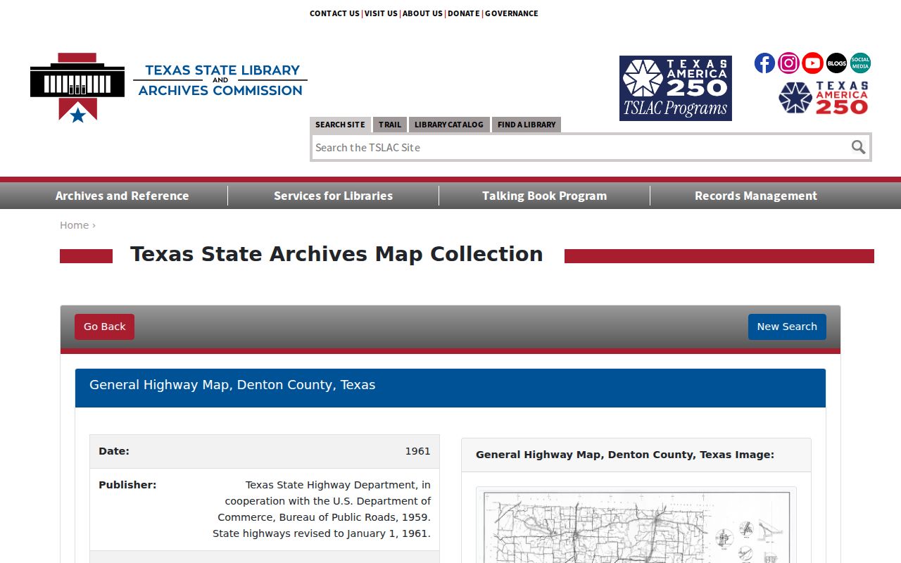
The map offers historical geography, not a modern ZIP boundary and not proof that a specific person occupied a location.
Lewisville ZIP Code Check
A reproducible ZIP check has four core values: the address as typed, the USPS-standardized address and ZIP, the DCAD situs city and ZIP, and the municipality or council district shown by city or county geography. Add a historical place name when working with an old directory, deed, or map. The four values can agree, but when they do not, the disagreement is part of the result.
For 75056, 75029, and 75077, retain the postal label and parcel municipality separately. The research calls them Lewisville-area leads, not shortcuts to a city-limit conclusion. This careful record is useful for family history, property context, civic research, and verifying a seller’s address without turning a delivery label into a person claim.
Lewisville Census Geography
Citywide population figures supply scale, not an address-level answer. The U.S. Census Bureau QuickFacts page for Lewisville reports a 2020 population of 111,822 and a 2025 estimate of 139,006. It is a useful reminder that postal labels, parcels, and citywide statistics operate at very different levels.
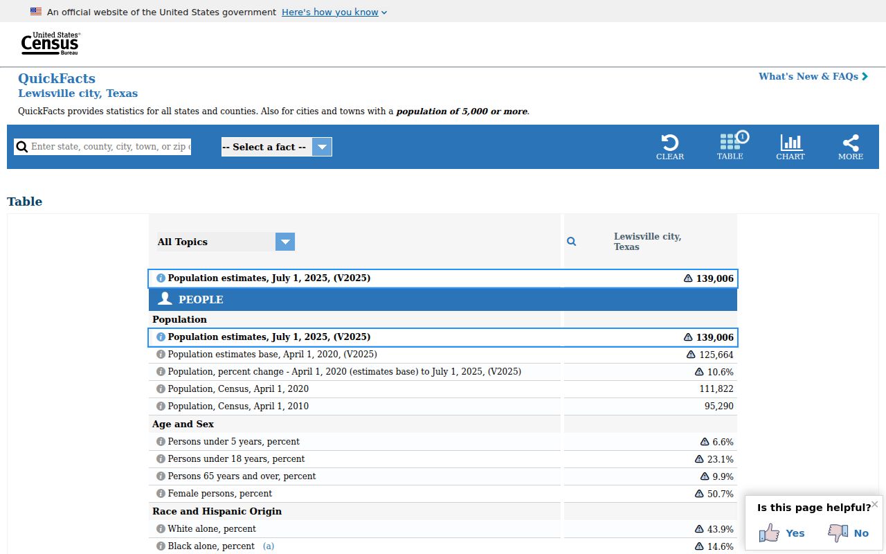
QuickFacts provides citywide context only. It cannot verify a ZIP boundary, a parcel’s municipal status, or a person’s location.
Document how an address was checked, then rely on the appropriate custodian record for the underlying question. That keeps postal, parcel, municipal, historic, and population evidence in their proper roles.