
Lewisville Neighbors: Sources Around One Block
Lewisville neighbors can be researched through parcel geometry and public civic context, not by assuming that every name near an address lives there. The first useful output is a block record with a subject parcel, adjacent parcel IDs or situs addresses, ZIP verification, council district, a documented association name where one exists, and a clear note about what each source does not prove.
| Source | What It Shows About a Block | Access |
|---|---|---|
| DCAD GIS / ArcGIS layer | Adjacent parcel geometry, situs, PID, legal description, city, ZIP, and public deed fields | Viewer and REST layer; informational map, not a survey |
| Lewisville residential districts | Current public representation attached to an address | City district map |
| Neighborhood Services | Public registration and engagement route for watches and associations | City program and metrics pages |
| Texas HOA certificates | Association name and management-certificate document | State certificate search; not a member list |
| Sanborn and TSLAC maps | Historic block, road, building, school, rail, cemetery, and utility context | Portal to Texas History and TSLAC map records |
DCAD may show current owner or mailing fields where they are public, but an owner is not automatically an occupant. The voter route is governed by Texas disclosure and protected-address rules, and its county page returned a 403 during research, so its live fields were not assumed. Association certificates identify an organization, not the households on a block.
Map Lewisville Neighbors by Adjacent Parcel
The DCAD workflow starts by locating the subject address in the GIS viewer, turning on Parcels and Streets, and opening the subject parcel. Preserve only the useful block facts: PID or geoID, situs, legal description, subdivision or lot, city, ZIP, and public deed metadata. Query the surrounding parcel layer to identify adjacent sites, rather than copying a broad set of names or mailing addresses.
- Find the subject parcel by its current address and record its PID and situs fields.
- Open each touching parcel and retain its PID, adjacent situs, legal description, and public map context.
- Check the city district and USPS or DCAD geography as separate civic and postal fields.
- Open the Clerk index only for a defined instrument, deed, or legal-description question.
The map layer is updated on a regular cycle but DCAD cautions that owner updates can lag, confidential ownership is not included in public downloads, and geometry is not a legal survey. For a complete named-street record chain, use the Lewisville by-street page rather than expanding a small block view into a roster.
Lewisville Neighbors and Civic Context
The city residential-district map can attach an address to public representation. Lewisville has a mayor at large and six districts, so council material, public minutes, and the city staff directory can help identify the office responsible for a public matter. Those are civic context records, not evidence of who resides next door.
Neighborhood Services reports a registration and engagement route for neighborhoods, watches, and associations. Its linked live registered-neighborhood sheet did not load during research, so no unverified roster belongs here. The same program describes Rock the Block, a no-cost trailer with chairs, tables, games, and Wi-Fi for block gatherings. That is useful community context without listing private participants.
The Lewisville Neighborhood Services page documents that public program context.
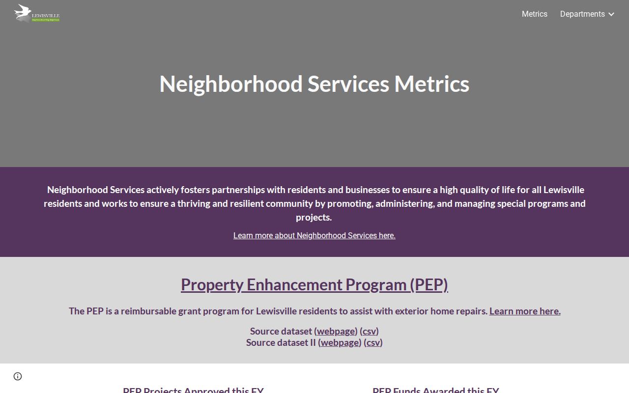
The page supports a block-level civic question, while the parcel map remains the source for adjacent-site geography.
Association Certificates Identify Organizations, Not Lewisville Neighbors
The Texas HOA management-certificate search supports a limited association check by county, city, ZIP, and association type. Verified Lewisville-area certificate entries include Creekside Homeowner's Association, McKamy-Sanctuary Homeowners Association, Maple Leaf Homeowners Association, Grand Park Estates Homeowners Association, Vista Villas of Lewisville Homeowners Association, and Vista Ridge Estates Homeowners Association.
The state database itself warns that completeness and reliability depend on user-provided information. Treat a certificate as an organization and filing lead, not a household directory or proof that every block has an association. Lewisville's Old Town North and Southwest Lewisville planning material also notes that some areas have few or no organized neighborhood or HOA associations.
| Block question | Official record route | What it cannot establish |
|---|---|---|
| Which parcel touches this lot? | DCAD GIS and ArcGIS parcel layer | Current occupancy |
| Which district represents this address? | Lewisville residential-district map | Private household membership |
| Is an association publicly filed? | Texas HOA certificate database | A member list or complete coverage |
Map Lewisville Neighbors Without Assuming Occupancy
The adjacent-parcel method is deliberately narrow. It starts from a specific location, maps the surrounding parcels, and preserves the source field and date. Owner, filing, or mailing information can be relevant to an instrument question, but it does not prove who currently occupies a property or who counts as a neighbor.
- Locate the address in the DCAD GIS viewer and select the parcel.
- Read adjoining parcel IDs, situs addresses, legal descriptions, and map geometry.
- Keep the parcel field separate from any owner or mailing field, and retain the retrieval date.
- Use the Clerk's official-records index for a specific deed or filing, then compare the instrument date.
- Move to the by-street walkthrough only if the question genuinely extends beyond the immediate block.
That flow gives a reader a useful map of Lewisville neighbors without turning source fields into a claimed household roster.
Historic Maps Put Lewisville Neighbors in Time
The 1912 Lewisville Sanborn record can show historic block numbers, building footprints, construction, water facilities, businesses, and fire notes. TSLAC's 1961 map adds later roads, schools, churches, post offices, railroads, cemeteries, subdivisions, and utilities. These resources help explain what stood beside a structure at a particular time.
They do not establish that a named person lived at a building. Pair a map with a dated directory, newspaper, deed, oral history, or archive item and keep each source's purpose distinct. That distinction is especially important where a modern parcel or ZIP does not align neatly with older geography.
Lewisville's changing geography makes that care practical. The city timeline places the 1855 town layout, the 1925 incorporation, the dam and lake sequence of 1948 through 1955, and the 2021 Castle Hills annexation in different record eras. A map can orient a block clue within one of those eras, but it cannot convert a historical road, school, cemetery, or building reference into a current-neighbor claim. Preserve the map date alongside the current parcel date when both appear in the same research note.
Official Lewisville Neighbors Records and Commercial Tools
Official sources identify the custodian, the record date, and the limits on use. A parcel map can identify an adjacent legal parcel; a public association filing can identify an organization; a city map can identify representation. Commercial people-search tools may combine material of uneven age and do not replace the source record, its privacy rules, or a custodian's correction process.
For Lewisville neighbors, keep an output modest: subject parcel, adjacent parcel IDs and addresses, civic district, postal check, public association name if documented, historic map reference, and a note describing the evidence gap. This format is more useful than a speculative list because it shows what can be confirmed and where to ask the next question.
Note: A parcel, deed, voter item, directory line, or court record can be a lead but does not prove present occupancy.
Privacy Limits for Lewisville Neighbors
Texas law withholds protected voter residence addresses and confidential identifiers such as Social Security and Texas driver-license information. The Address Confidentiality Program provides a substitute mailing address and forwarding for eligible participants. City public-information exceptions likewise protect specified personal identifiers. Those limits are not a gap to work around with a block search.
Public availability never makes a parcel owner a resident, a directory entry a current address, or an association filing a member list. If a record seems inaccurate, save the source and date, then take the concern to the relevant city, county, or state custodian. Do not republish protected information or use a block record to follow, contact, threaten, or harass anyone.
Lawful use. Research about Lewisville neighbors belongs to lawful personal and civic questions. Texas stalking and harassment provisions do not permit public records to be used to watch, intimidate, or harm another person.